
August 3
Adventure day!!
(Don’t know how many miles I hiked today, but I am now at mile 194.9 from Denver)
Another side trip that some previous hikers had mention in the planning guidebook was Hope’s Pass. I had taken a picture of these words from the guidebook- “Hope Pass, Belford Mt, Elk’s Pass back to CT.” It was supposedly a beautiful route, so I wanted to do that, too! Only I didn’t know how to get there… The maps I had were meant to be used in conjunction with a GPS, which I didn’t have… What to do…
I got up around 7:15 and got a text from my friend who said he would be willing to buy me crocs. I took another shower and made some instant coffee and had a bowl of granola with powdered milk. It was pretty good and I felt happy. I texted a bit as I packed up and my friend, at one point, commented on my pack being in disarray. My eyes grew large as I looked at all my stuff around the room! Could he see me? (He was really just commenting on the things I didn’t have- a top to wear in the Mt. Princeton hot springs, my crocs, my guidebook pages…
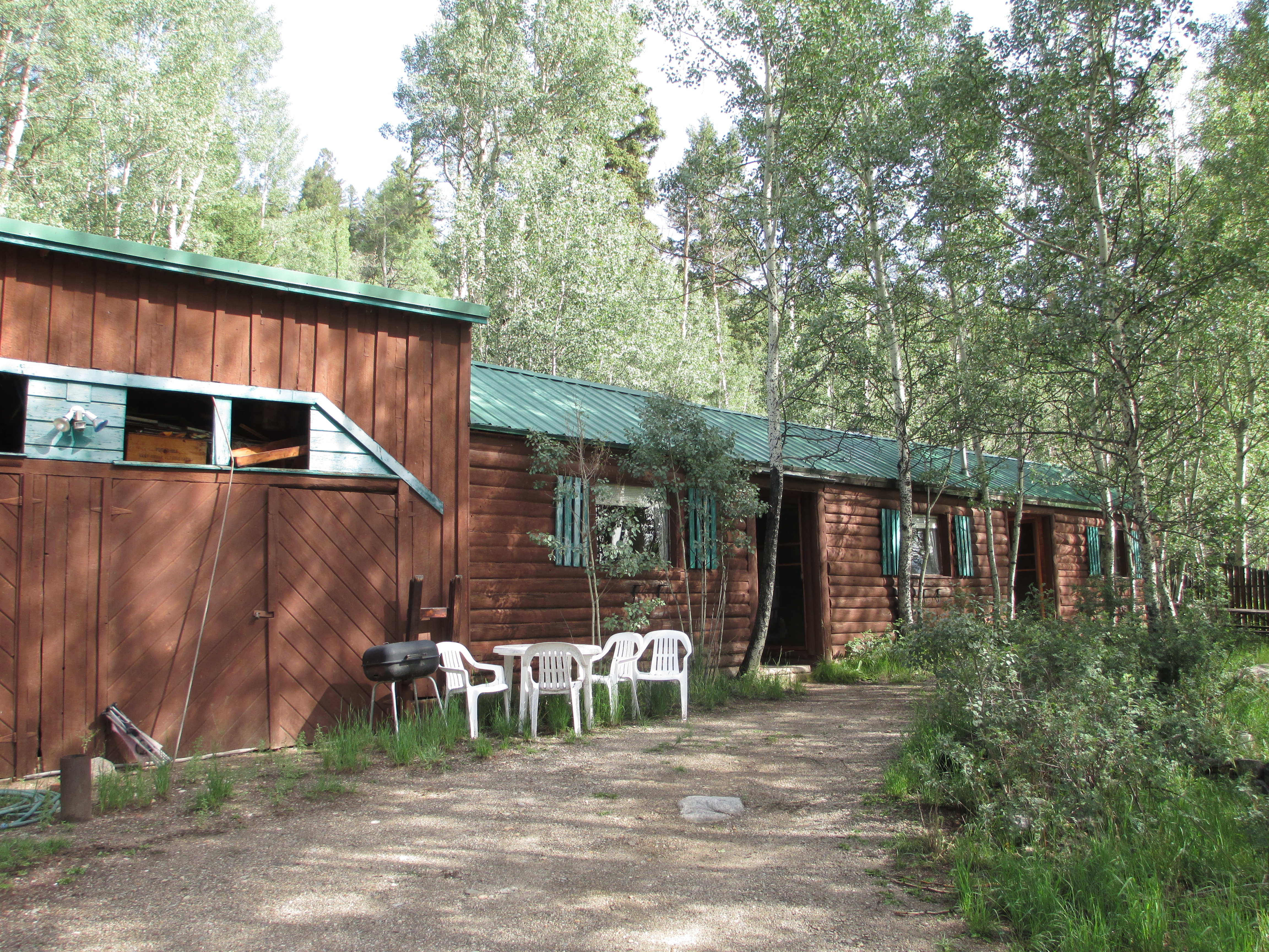
It looked like a beautiful day out! I finished packing around 9 and went out, hoping to say goodbye to Fred, ask about Hope Pass, and maybe get a ride back to the trail. I walked up the porch steps, but saw a sign that they were closed. Oh, well. As I walked back down the steps, Fred opened the door and said, “You leaving?”
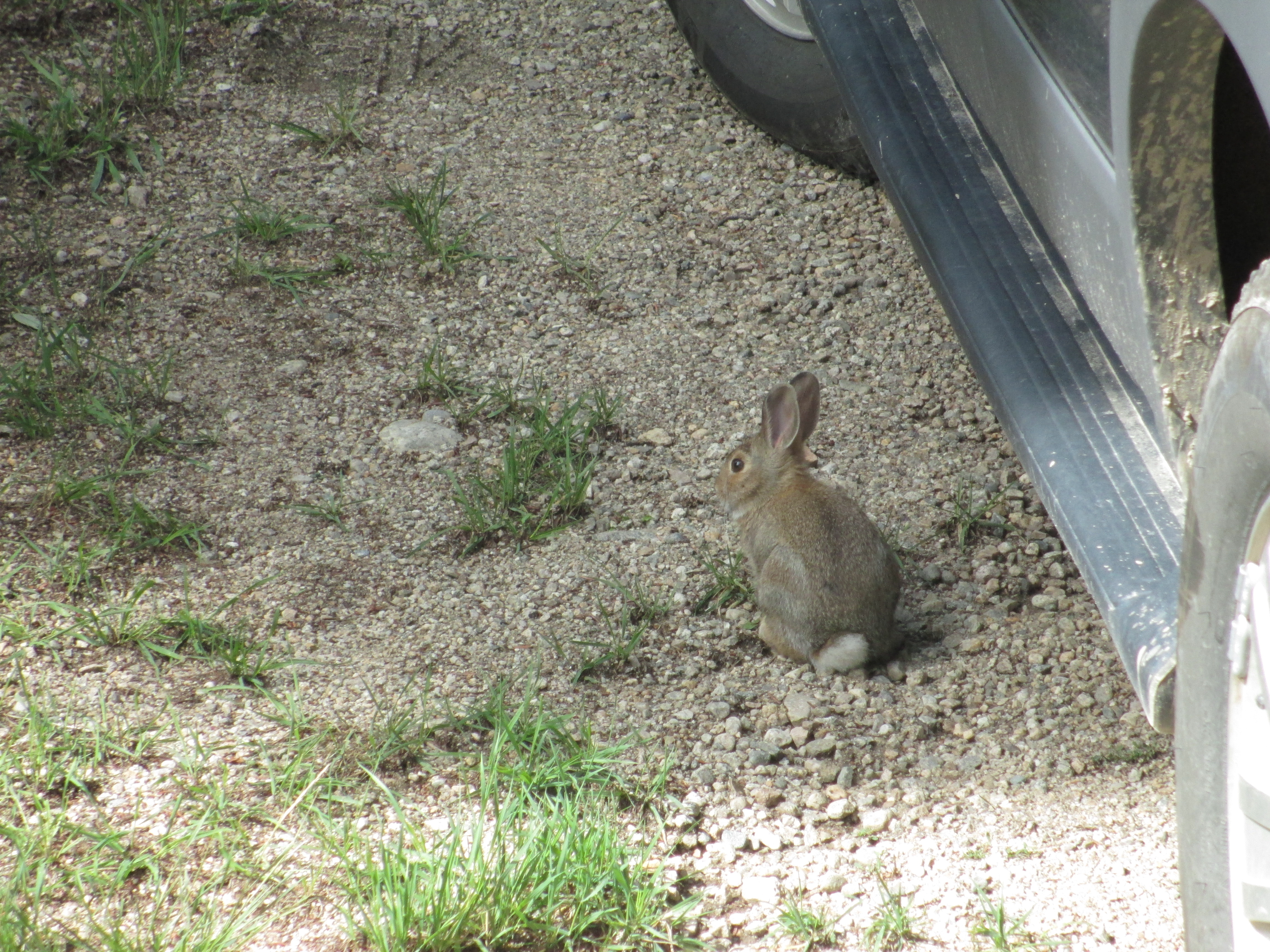
“Yup. I’m leaving.” I asked him if he knew anything about the old CT route and told him what I was hoping to do. He explained that there were 2 ways to get to Hope Pass. The first involved crossing a “crick”, which didn’t sound so appealing. The second option was that he could drive me up the road a bit and drop me off at the trailhead. “That would be awesome!” I felt a bit guilty about the ride, but it was already late, and I wasn’t following the current CT anyway (which would have been a flat route around the lakes). I felt like this hike was for me. I had already walked a direct path from Georgia to Maine and didn’t have anything to prove to anyone while I was out here. Besides, I had climbed extra (very hard) miles to summit Mt. Elbert. He went inside to get his keys and his dog while I waited beside his truck. A bunny was also waiting by the truck in the sun. I wondered if this was my visitor during the night!
After carefully explaining directions on how to get to Hope Pass (“you’ll see the change in forest, take a right at this intersection…”), we said our goodbyes and I started hiking again. What a nice man he was! I was grateful for my path intersecting with his.
The climbing felt easy in the beginning. I always feel better coming out of town for the first few miles. The elevation is lower, and even when my pack is loaded with food and water, my pack feels manageable. After a few hours, however, even after drinking some of the water and eating some snacks, the straps press into my shoulders and the weight becomes more and more unbearable.

A man hiked toward me and I felt a bit uneasy, not being on the CT, and being alone. But nothing happened. We both continued on in our separate directions. I thought about how, while hiking, I can sense that animals (including humans) are nearby well before I see them.
A bit later, a woman runner startled me, however (perhaps because she was moving much faster). I saw several runners training for the Leadville 100 in this area.
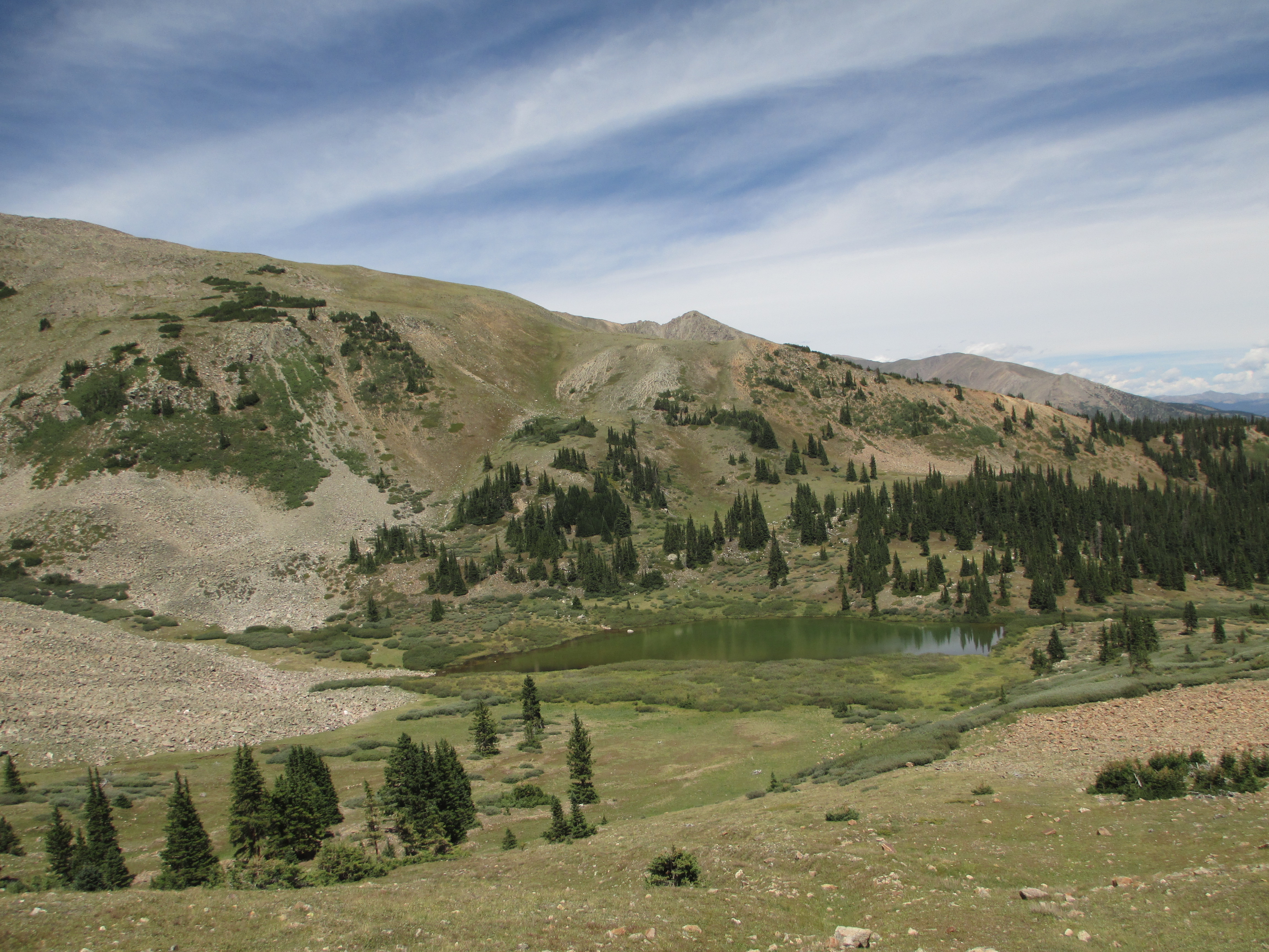
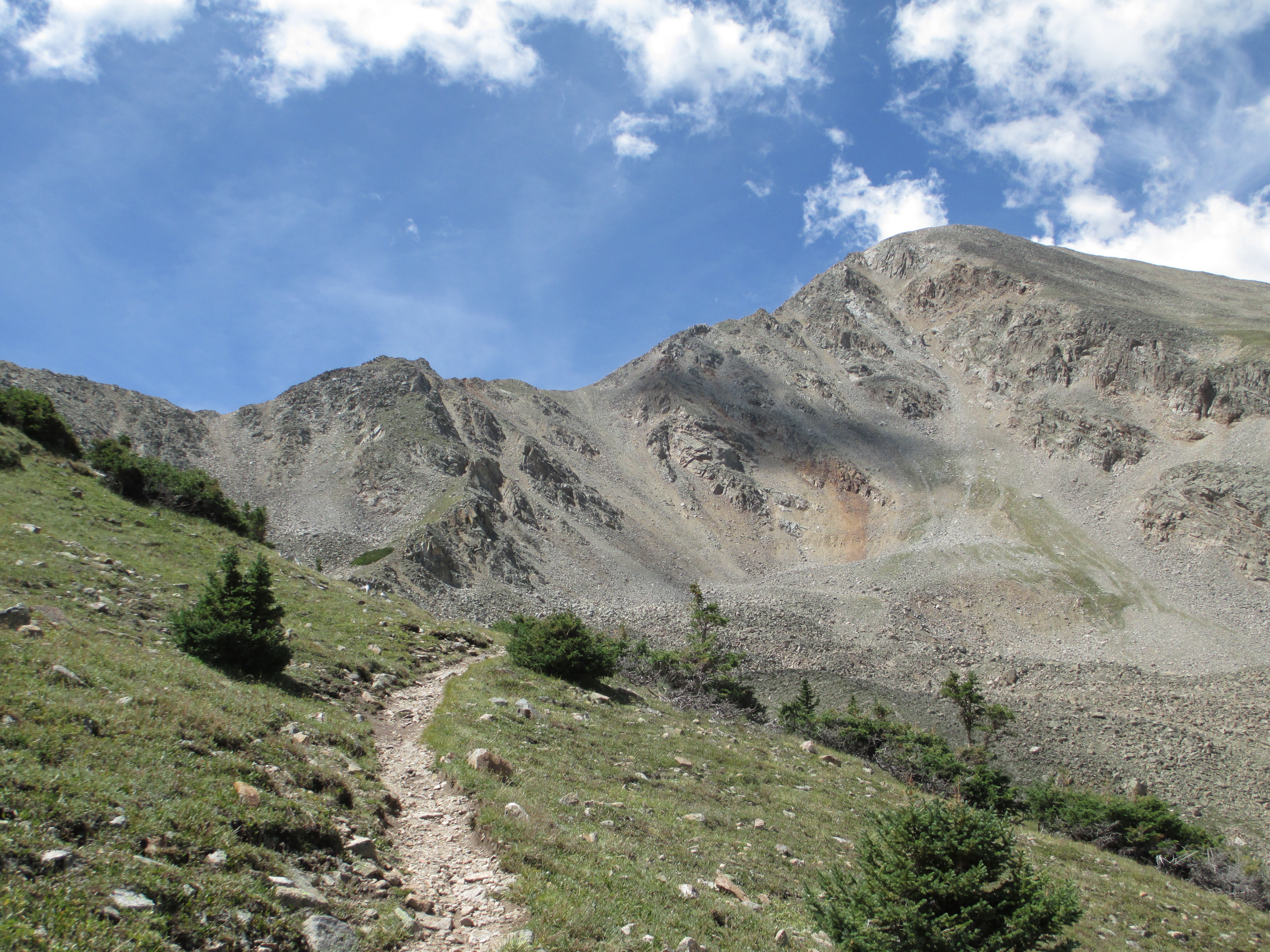
I ended up finding Hope Pass without trouble. I had no idea what I was getting into- no idea that this was another long exposed pass, which I had reached around noon. But boy, was it incredible! I was so glad I took this route! I just couldn’t believe the views, and once again, I was the only one out in it! Me and the mountains and the incredible beauty! Wow! As the elevation increased, I had to stop every few feet, just like I did on the climb to Mt. Elbert. Slowly, slowly, I plodded toward the top. I finally reached the saddle and the high point of the climb! I felt so happy.

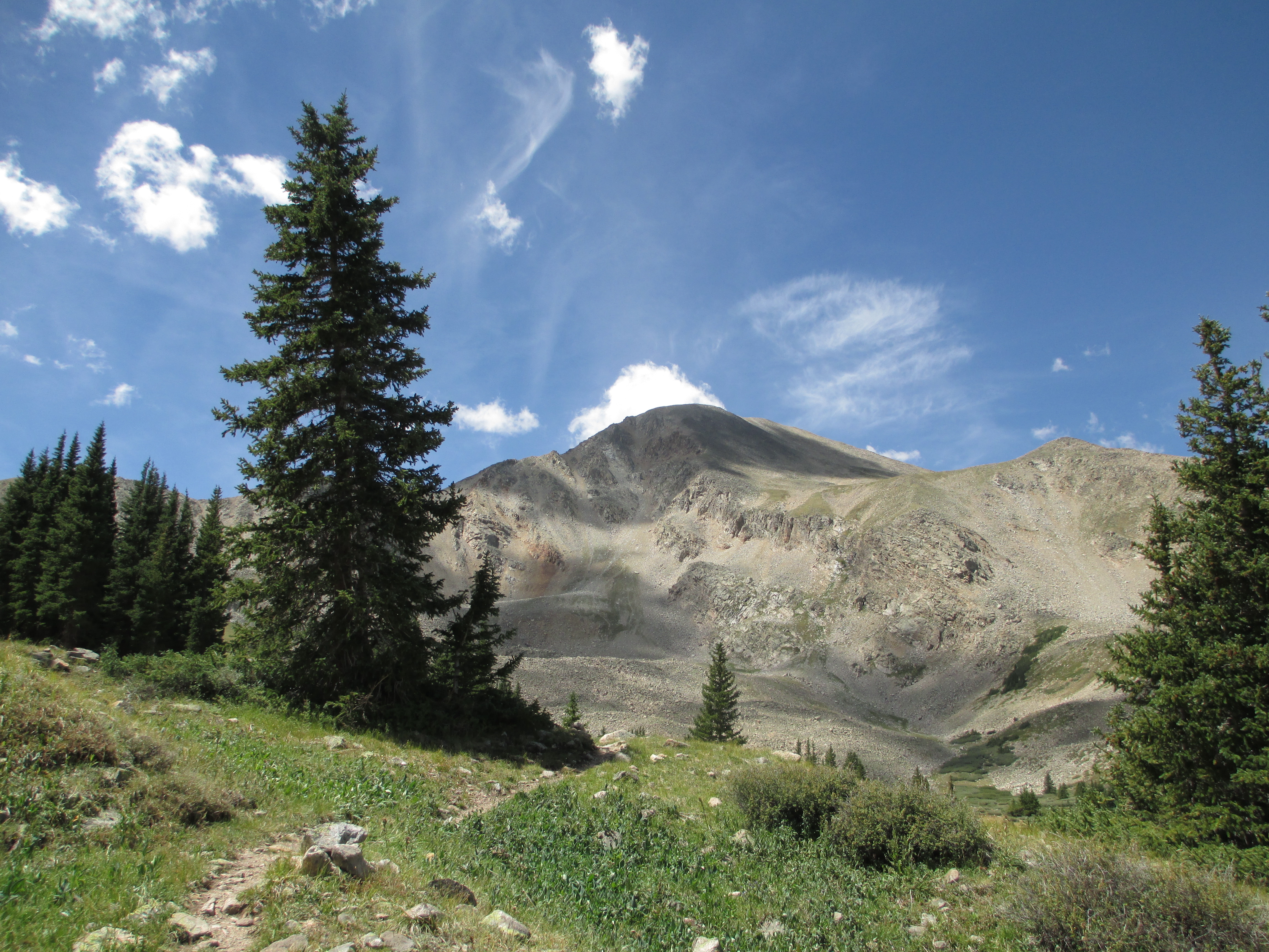


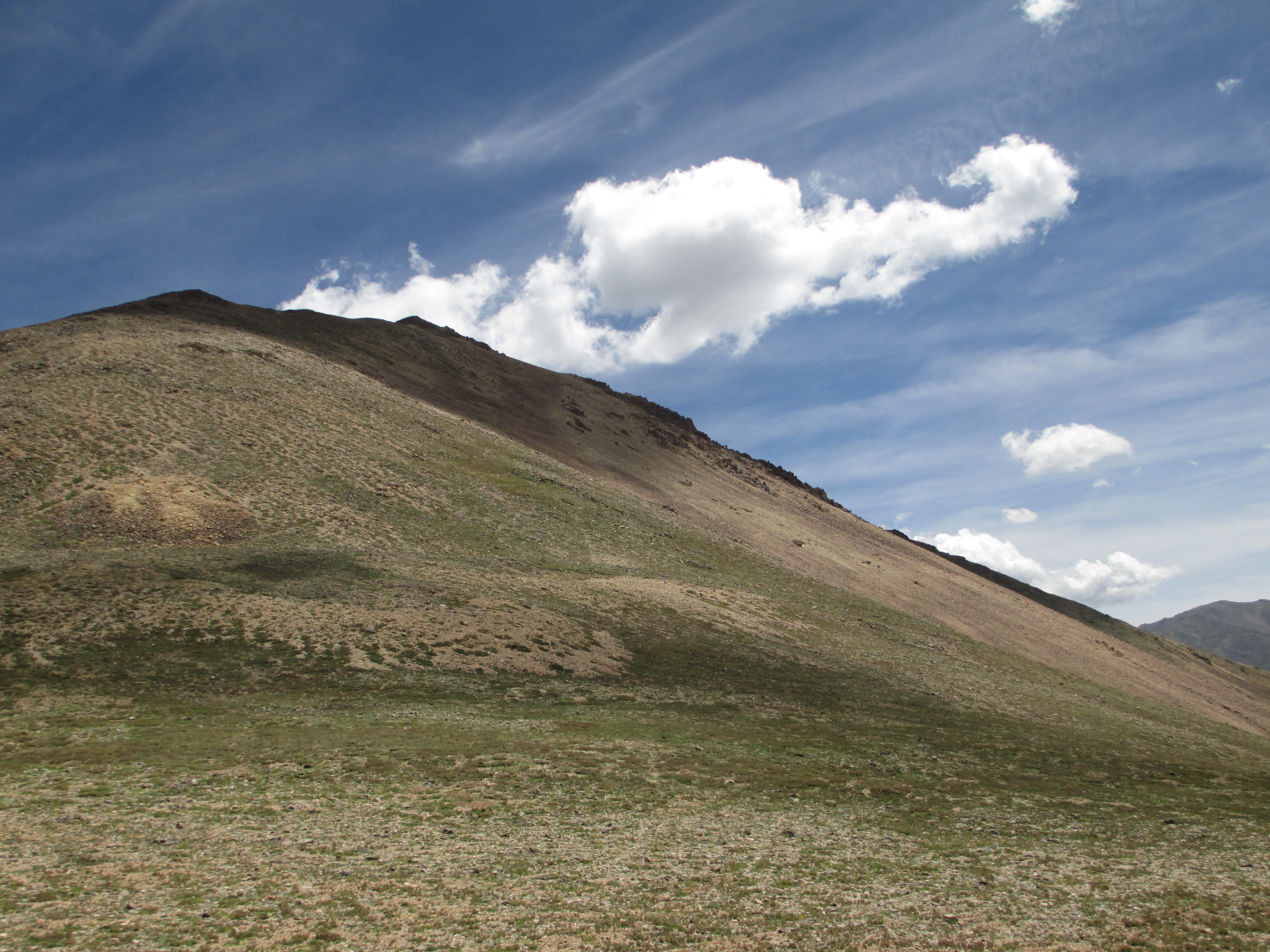
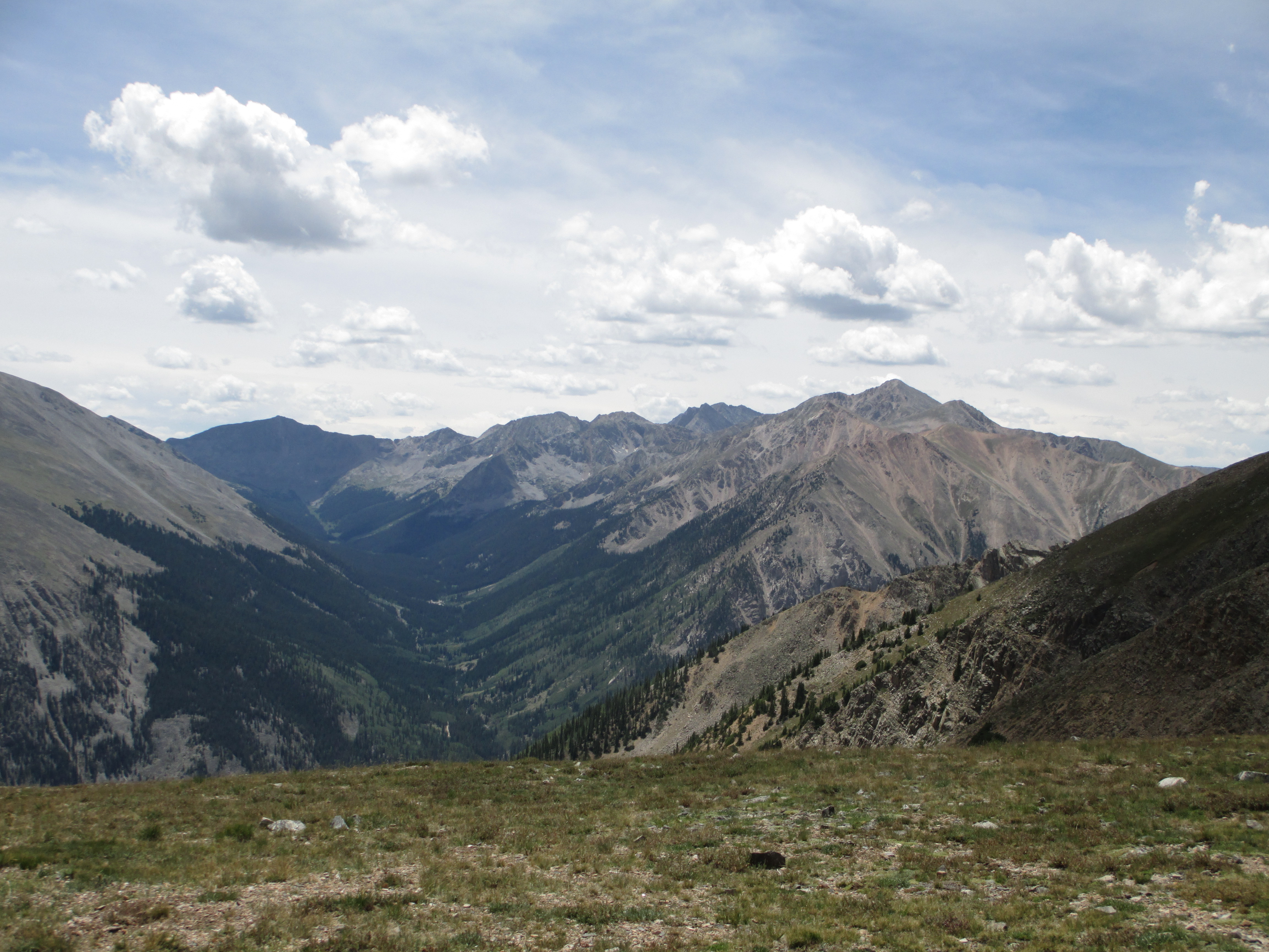

As soon as I started to descend, the wind became very strong! It was almost comical. The descent was not very steep at the top, so at times, I could almost run! It was so fun. Then, it gradually became steeper, and I had to be careful with my footing.
I met the woman runner who first scared me on her way back and asked her if she knew where this trail met up with the current CT. She said she thought this was part of the CDT, but didn’t know where the CT was. She told me that the trail split and either went to Windfield (which had a nice cemetary, she said) or down to the highway. I figured the highway was my best bet. (I really had no need to see a cemetary!). She said there were lots of campers and backpackers down there.
Great! I continued on, came to the intersection, and headed down. I came to a dirt road (not a highway) and saw no backpackers or campers. Hmmm… I decided to sit on a log and take a look at the words that I had taken a picture of. I trusted that someone would come along to help me.
Within a few minutes, a bearded backpacker emerged from the woods! My help! He was quiet and a bit aloof. I found out he was hiking the CDT. I asked him if he was the first southbounder. He said he thought he was. He had 200 miles to go. His calf and knee were hurting and he was ready to be finished. I told him that I was looking for the current CT and he asked if I had maps. “I’ll show you what I have. They are useless,” I told him.
“Do you have a GPS?”
“No.”
He probably thought I was crazy or at least very stupid. He took out his GPS and determined that the CT intersected this road. I asked him if he was going south.
“I’ll follow you!”
He didn’t seem so thrilled about that… I decided to eat a snack and let him have his space. And then I continued on in the direction he went, looking to the right and left, searching for the CT intersection. Every small trail made me pause. Down the road, I saw a camper tucked into the woods on the left, with a man standing outside of it. I hesitated, wondering if I should ask him for directions. Part of me was scared, but I finally decided to make my way over to him. I told him that I was lost and that I was looking for the Colorado Trail. He pulled out his road map and told me that it was further ahead on the right. “If you pass Vicksburg, you’ve gone too far.” As I turned away, he said, “Your friend was just here. The guy with the big beard…”
“Did he stop and talk to you?” I asked.
“He said you’d be coming and that you were lost.”
I thought it was nice of him to be looking out for me…
I looked up at the sky and saw a circular cloud that looked almost like a face. (I had been looking for signs from my brother in the sky when I needed help). I wanted to take a picture, but then it disappeared…
I passed a couple of trails on the right, but none were the CT. I decided to flag down the next car. The driver happily pulled over. I told him my predicament. “Well, let me pull out a map!” I told him I wanted to hike Mt. Belford and descend Elk’s path (I didn’t realize this was another 14,000+ foot mountain… Okay, just the CT will be fine…). He told me he was checking out gold mines. From his forest service map, he determined that I was 6-7 miles away (!). He asked if I was comfortable sticking out my thumb. He said he would have given me a ride, if he wasn’t running out of time. I couldn’t understand why he couldn’t at least bring me part way… Then, he realized my confusion. “Girl- you’re all turned around! You want to go that way!” (pointing in the opposite direction).
What?? Why did my helpers steer me in the wrong direction?
Now, I was very discouraged. I had just walked several miles in the wrong direction and still needed to walk 7 more miles on the road before I met up with the CT again! I walked past the family who steered me in the wrong direction. They were playing in the creek and didn’t notice me. Plenty of cars were driving in the opposite direction, but none were driving in mine!
As I neared the point at which I had first emerged from the woods, the first car heading in my direction came along. It was a black SUV. I stuck out my thumb and they pulled over. I put my pack in the back and climbed in. They had no idea where the CT was. The woman handed me the road map and I started to look for the area, feeling a bit overwhelmed. We reached the Missouri trailhead and pulled in. The man asked 2 groups of people if they knew where the CT was. They had no idea. The third group (drinking and the ones most least likely to know, I thought) said it was “that way.” I remembered that the goldmine guy had told me it was near a reservoir. It was now almost 4pm (I had first reached the road just after 2). We continued on for several miles, finding nothing. They had to hitch their trailer up to the SUV before heading home and told me I had three choices- either get out and walk, find another hitch, or wait while they hitched up their trailer. It had started raining when I was walking back, and now it was coming down harder. I decided that I preferred to wait in the car. I looked at maps while they attached their trailer. Then, we headed off again, this time much more slowly! We reached the reservoir, which was dry! The man took out the maps and determined that we had passed the trail turn-off. It was a lot of work to turn the trailer around, and I told them I would just get out and walk or find another hitch, but he was now determined to find it! We pulled into a campground to ask someone and some nice people told us that the trail passed through the campground and that it went over the bridge they were pointing in the direction of. The husband wanted to take me right to the bridge! They asked if I needed any water and I declined, but they insisted that it was easy- they just had to attach a hose. (I should have filled up more, not realizing I was entering the Collegiate Peaks…). I said goodbye to these very kind people and saw another man being dropped off at the same time.
He asked me if I was just starting. He was just out to do this section and said it was “a horrible one- 4,500 feet elevation in 12.8 miles.” Great, thanks for the positive energy…I felt very tired and thirsty, so I sat down and ate a power bar, a packet of peanut butter, and a snickers.
I climbed at a steady pace and came upon the man making strange sounds at pretend bears in the woods! He then wanted me to pace him further up the hill. He intended to make it to the top and down to some camping spots at mile 6.4. I had already hiked a full day and just needed to find a place to camp. As we rounded a bend, I found my camp spot about 2.9 miles in. Perfect! The man decided to take a break at my spot. He checked his GPS and found that we were at an elevation of 10,300 feet. Tomorrow, I would climb up to 11,600 feet, descend a steep downhill, and then climb again. I had black bean chili for dinner. It was good, but spicy and messy, and made my nose run a lot!. A curious chipmunk and friendly bird were my camp companions. I felt full, washed up, checked my guidebook pages, and brushed my teeth. I was finished at 8pm, while the sun set on the other side of the woods.
What a day! I’m so glad I made the decision to hike Hope’s Pass! The beauty was unparalleled and I enjoyed hiking without constantly checking on where I was in the segment. Usually, it is the number of miles that I have left to go in any day that occupy most of my mind space. Today, I had no idea where I was going, and it felt different and more fun. And I felt very comfortable trusting that I was okay, and that I would receive help when I needed it! (A big step for me!) Only two more days until I reach the Hot Springs!

(The first gas canister that I bought in Denver still has gas in it!! And I’ve been carrying two extra half canisters for most of the time, as well…)
